
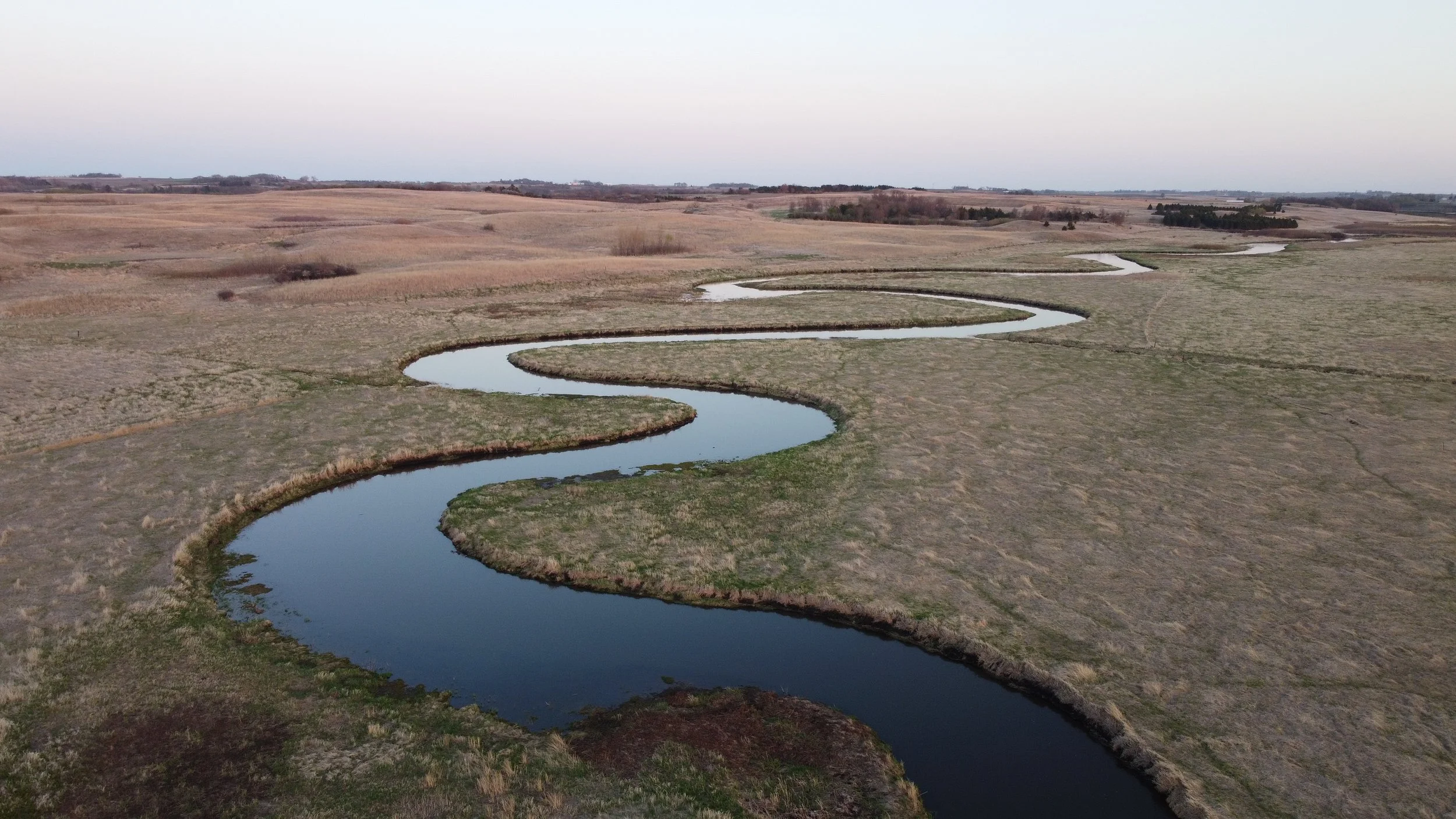
A River with Many Names
By Chérie Haury-Artz
Native Americans, whose ancestors have lived in the region since time out of mind, know the Little Sioux River well. Some sources report that the Báxoǰe (Iowa) call it “the Woven Rock River”[1]. The Dakota know it as Eaneah-waudepon or “Stone River”. The first maps made by French explorers as early as 1702 identify it as “Rivière des Aiaouez” or the “River of the Iowa,” referring to the numerous villages Báxoǰe or Iowa Nation established along its course. Later French maps identify the watercourse as “Petite Riviere des Sioux”, or the Little River of the Sioux in recognition of the Dakota people living in the region; this name is the forerunner to the anglicized Little Sioux River [2].
The term “Sioux” can be problematic. It is derived from the Ojibwe word Nadowessioux, an offensive term meaning “Little Snakes,” which was shortened to “Sioux.” Many prefer Oceti Ŝakowiŋ (oh-CHEE-tee shaw-KOH-we), meaning “Seven Council Fires,” which refers collectively to the Dakota, Lakota, and Nakota people [3]. Nevertheless, the name Sioux came into common usage among Europeans and Euro-Americans. In 1838, Joseph Nicollet drafted a map of the region between the Mississippi and Missouri Rivers for the US government. Based on information from local informants, Nicollet’s maps and reports documented the name, “Little Sioux River,” and the name became enshrined on US maps.
Iowa’s First Water Trail
The Inkpaduta Canoe Trail predates Iowa DNR’s Water Trails Program by decades and represents a local movement to connect with a river. In the 1980s County Conservation boards; Clay, Buena Vista, O’Brien, Cherokee, Ida and Woodbury got together to regionally dedicate the river as The Inkpaduta Canoe Trail. A brochure was created and signs were installed at many of the accesses. The naming was intended to be honorific, but minimal, if any consultation with Dakota tribal groups occurred. Out of respect to descendants as well as to the name itself, the Iowa DNR Water Trails Program has initiated a process of consultation with members of various Dakota tribal affiliates including the Tribal Historic Preservation Office of the Flandreau Santee Sioux Tribe.
A Complex History
The decision to retain the name Inkpaduta Canoe Trail for the current DNR water trail project acknowledges a fuller, more complex story of the Little Sioux River and the people who have lived along its banks. This name calls attention to the deeper history of Indigenous presence, resilience, and relationship with the river. Retaining the name stands as an act of recognition, supported by the descendants of Inkpaduta and by local conservation boards while inviting all Iowans to confront history honestly in the hopes of gaining greater understanding. Naming a water trail represents an act of public remembrance about the land, its people, and the relationships between them. To continue calling the Little Sioux River water trail the Inkpaduta Canoe Trail acknowledges how the rivers winding course carries memory, legacy, and the deep sediments of history.
The name Inkpaduta Canoe Trail may unsettle some Iowans, and understandably so. The 1857 violence at Spirit Lake, in which nearly 40 settlers died, represents one of the most harrowing and traumatic moments in the region’s past. For many, Inkpaduta has long stood as a symbol of frontier violence, and his name invokes pain and fear. To represent truth, history must exist as more than a catalog of heroes and villains. Memory must wrestle with complexity, ambiguity, and competing perspectives. Inkpaduta, often cast as a “murderous renegade” by early American accounts, also existed as a displaced leader of the Wahpekute Dakota. The Dakota in Iowa experienced incredible hardship as Americans entered the group’s ancestral lands. American officials and representatives repeatedly drove the Dakota from their lands through encroachment, broken treaties, and state-sanctioned violence. Inkpaduta’s band endured hunger, devastation from Euro-American-introduced diseases, and loss of life at the hands of U.S. military and civilian forces. In this light, the violence at Spirit Lake represents a moment in a much larger, and much older story along a river with many names.
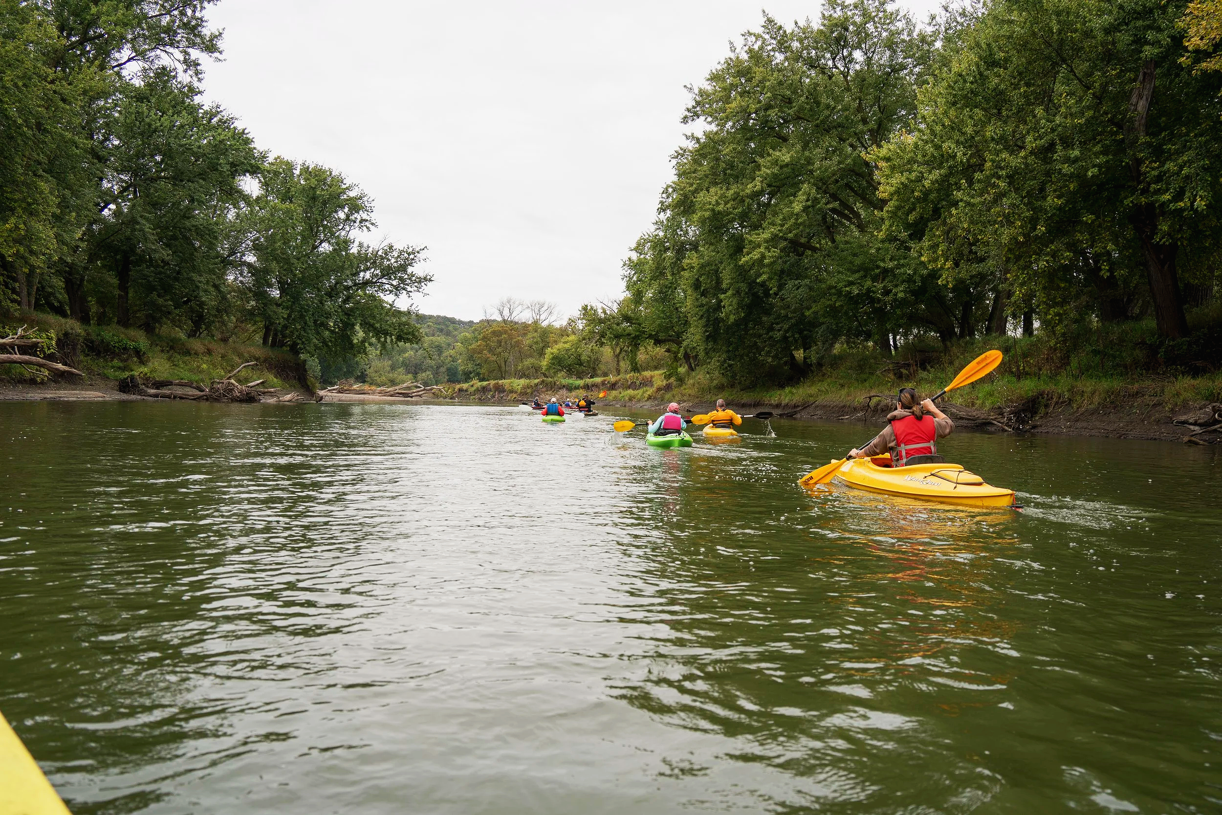
What is a Water Trail?
Water trails are recreational corridors and routes on rivers and lakes that provide a unique experience for canoeists and kayakers and provide adequate access points that can be used for planning your trips at various lengths and difficulty. Water trails help re-connect Iowans to their waterways' history, heritage, geology, fisheries, and wildlife.
A water trail may also provide access to riverside campgrounds, primitive campsites, amenities such as shelters and restrooms in city, county or state parks. A water trail will have a detailed map showing access points and river mileage and may even provide information on history and area culture, wildlife viewing opportunities and more. Water Trail Development | Department of Natural Resources
A water trail promotes an ethic of caring that makes us more aware of our surroundings and environment and can be thought of as educational venues. Whether they are used for relaxation, health and fitness, education or just for spending time with family, water trails provide in-state destinations for recreational river users that can even help boost local economies. Water Trail Development | Department of Natural Resources
Coordinated signage and mapping systems guide users toward the types of experiences they seek, ranging from a highly social first-time river experience lasting a few hours to multi-day adventures. Hiking, Biking & Water Trails
Iowa DNR Water Trail Planning Process
The Iowa Department of Natural Resources follows a comprehensive planning process for water trail development, as outlined in their statewide water trails plan, "Iowa Water Trails: Connecting People with Water and Resources." Water trail planning typically requires 18-24 months to complete due to the complexity and number of issues that can arise during the planning process, as well as the many requirements needed for state designation. Because of these complexities, the DNR is closely involved in the planning process from the very beginning, working collaboratively with local communities, land managers, and stakeholders throughout the development phase.
The planning process for state designation involves meeting several key requirements, including establishing a network of agreements that identify each land manager's commitments to maintenance and management of the water trail infrastructure, and implementing state standardized water trail signage for access points, wayfinding, and hazard warnings such as dam alerts. Currently, the DNR takes on one water trail project each year, and interested communities can apply for water trail planning that leads toward state designation through the Water Trail Planning Application process. The Inkpaduta Canoe Trail planning process follows these established DNR protocols to ensure safety, consistency, and long-term sustainability.
References & Acknowledgements
Rullestad, Ashley 2025. Cherokee River Valley Town Boasts History, Culture and Scenic Views. In Iowa History Journal, July/August 2025.
Vogel, Virgil J. 1983. Iowa Place Names of Indian Origin. University of Iowa Press, Iowa City.
South Dakota Office of Indian Education 2018. Oceti Sakowin: Essential Understandings and Standards. Adopted by the South Dakota State Board of Education Standards March 19, 2018.
This section, “A River of Many Names,” was developed and written by Chérie E. Haury-Artz, Dr. Kevin Mason and James Ritchie. Edits were made by Elizabeth C. Reetz and Chérie Haury-Artz.
This section was adapted for the web by Jordan Barry. The heading video was captured by Benjamin Fowler, the heading photos were captured by Jordan Barry.
This section along with the pages; “Ecosystems, Culture & History, Wildlife, The Dakota in Iowa & Geology” were prepared for Iowa Department of Natural Resources Water Trails Program under coordination by John Wenck.