
Access Guide
Access Catalog
-
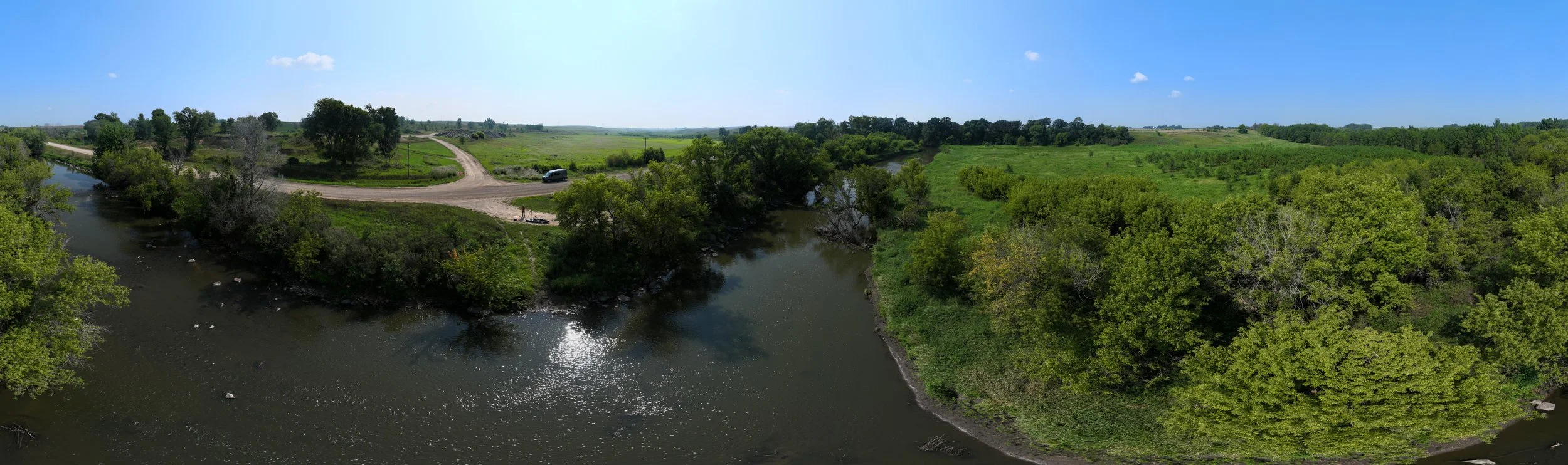
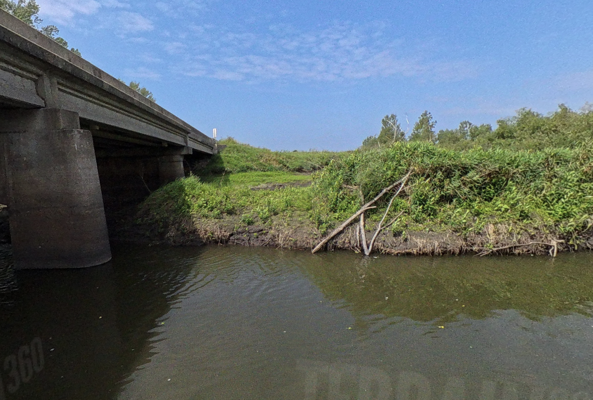
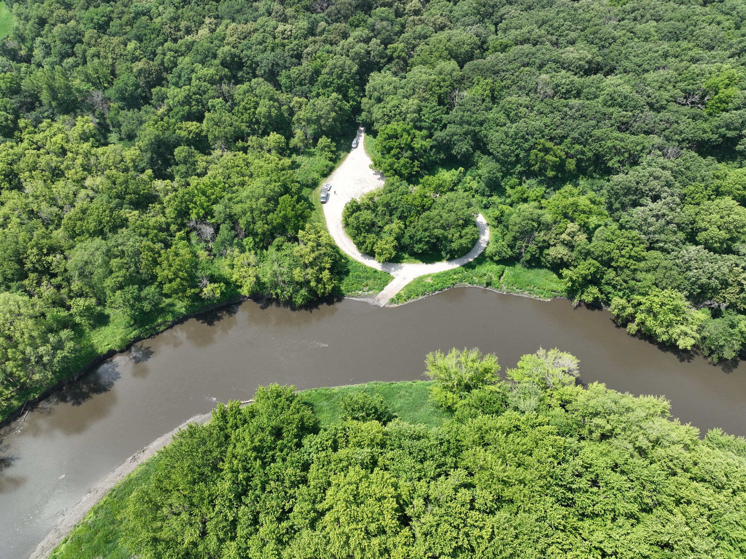
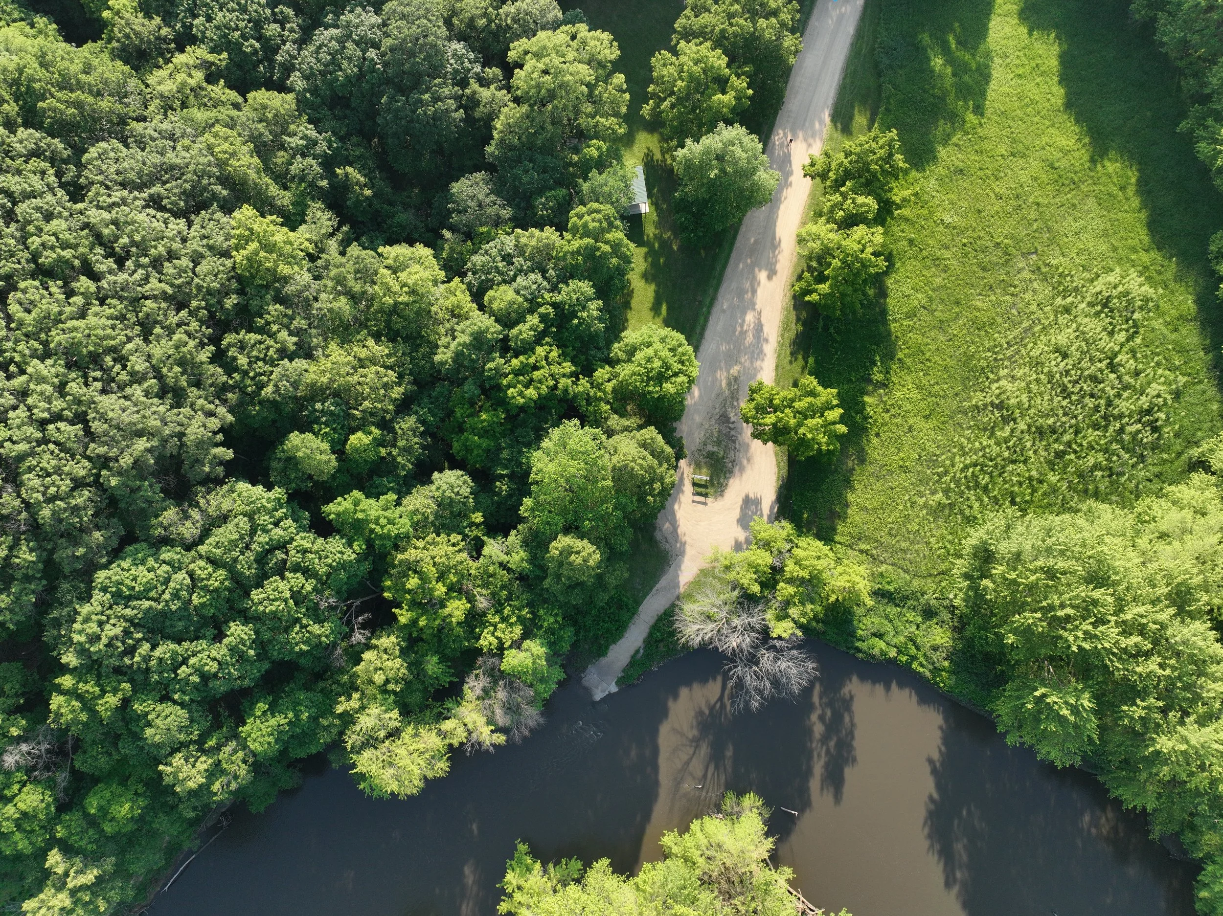
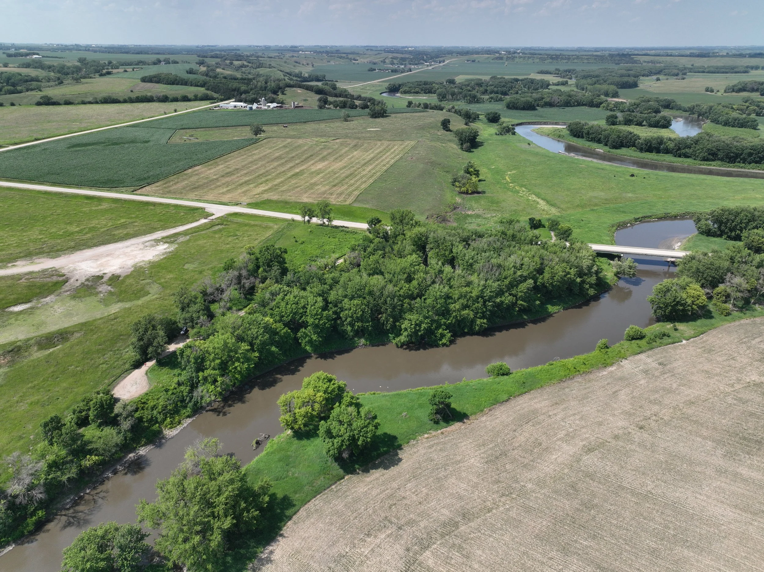
Twin Forks Canoe Access
RIVER MILE:
228COUNTY:
DICKINSONDiscover where two waterways converge at Twin Forks Canoe Access, offering paddlers a unique opportunity to explore the confluence of streams feeding into the Little Sioux River. This scenic access point provides an ideal launching spot for canoeists and kayakers seeking to experience the Cayler Prairie State Preserve.
CONSIDERATIONS:
There is no formal launch from top of bank to riverbed. While the riverbank is not high, it is natural, uneven, and can be muddy and wet.
-
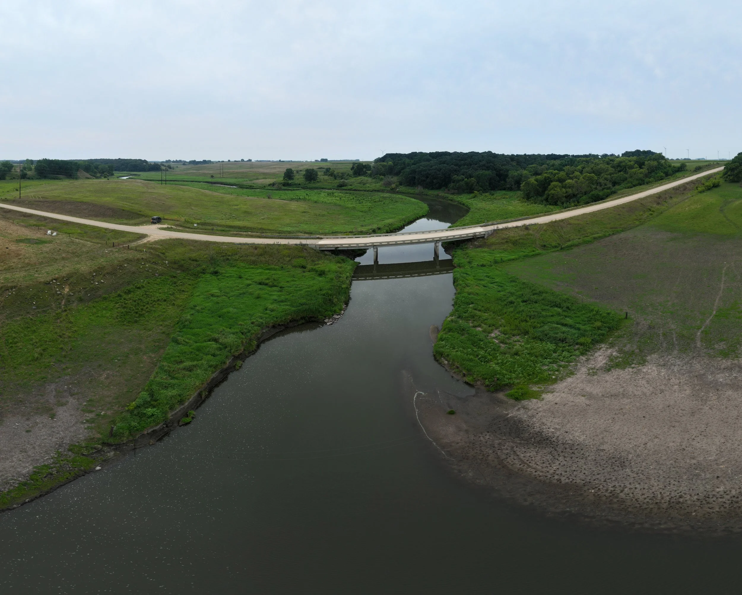
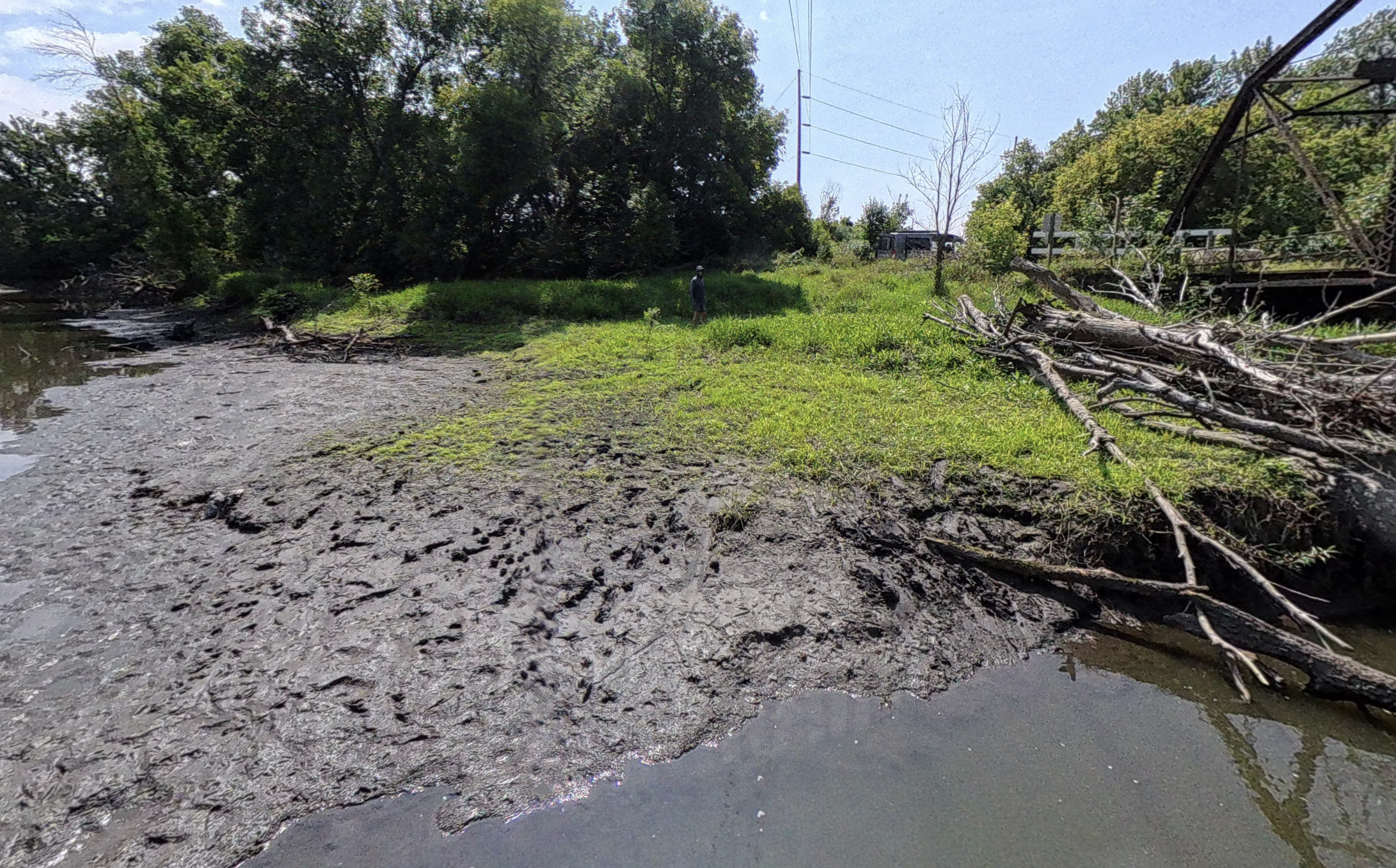
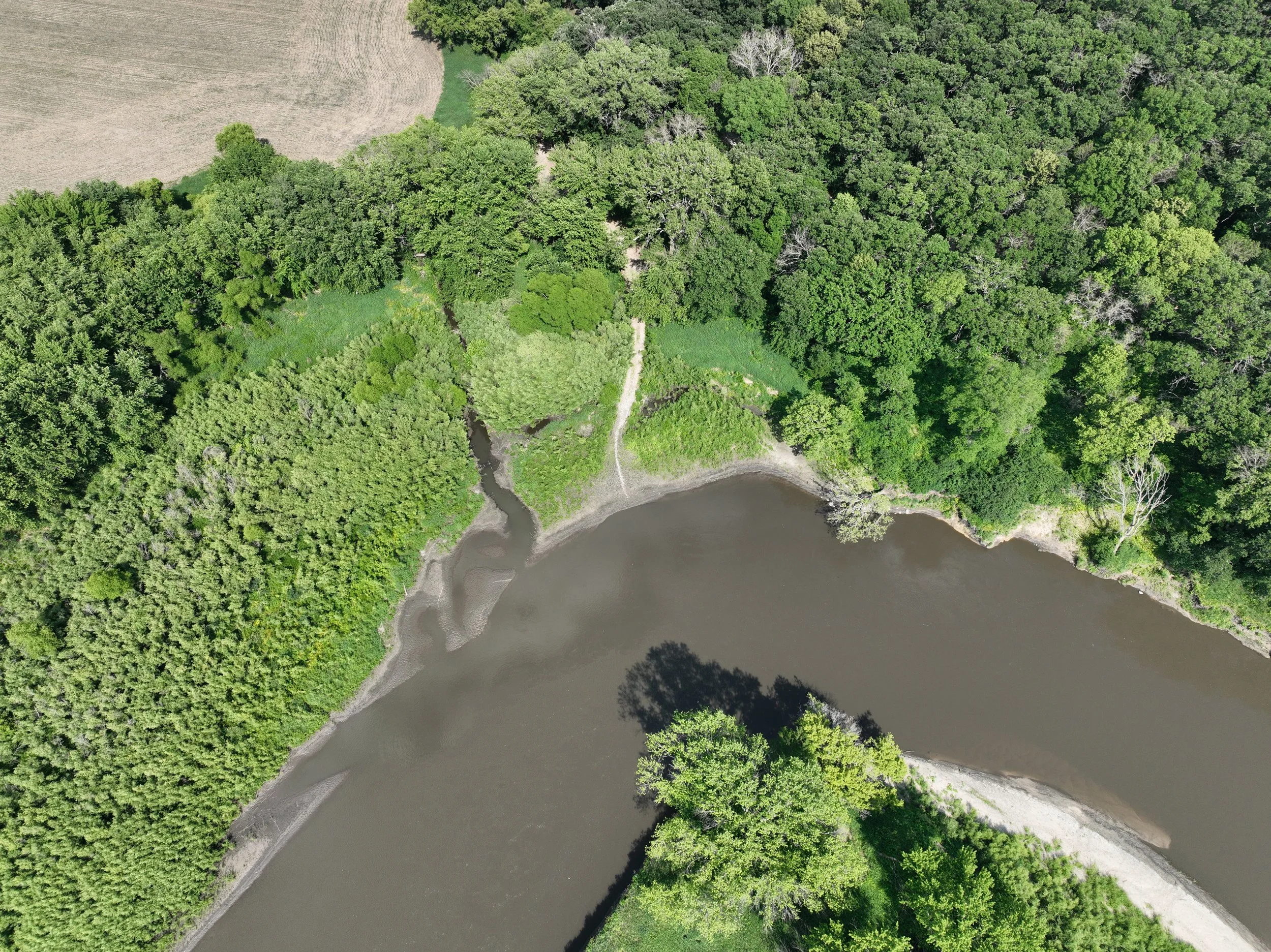
Spooky Hollow Canoe Access
RIVER MILE:
222COUNTY:
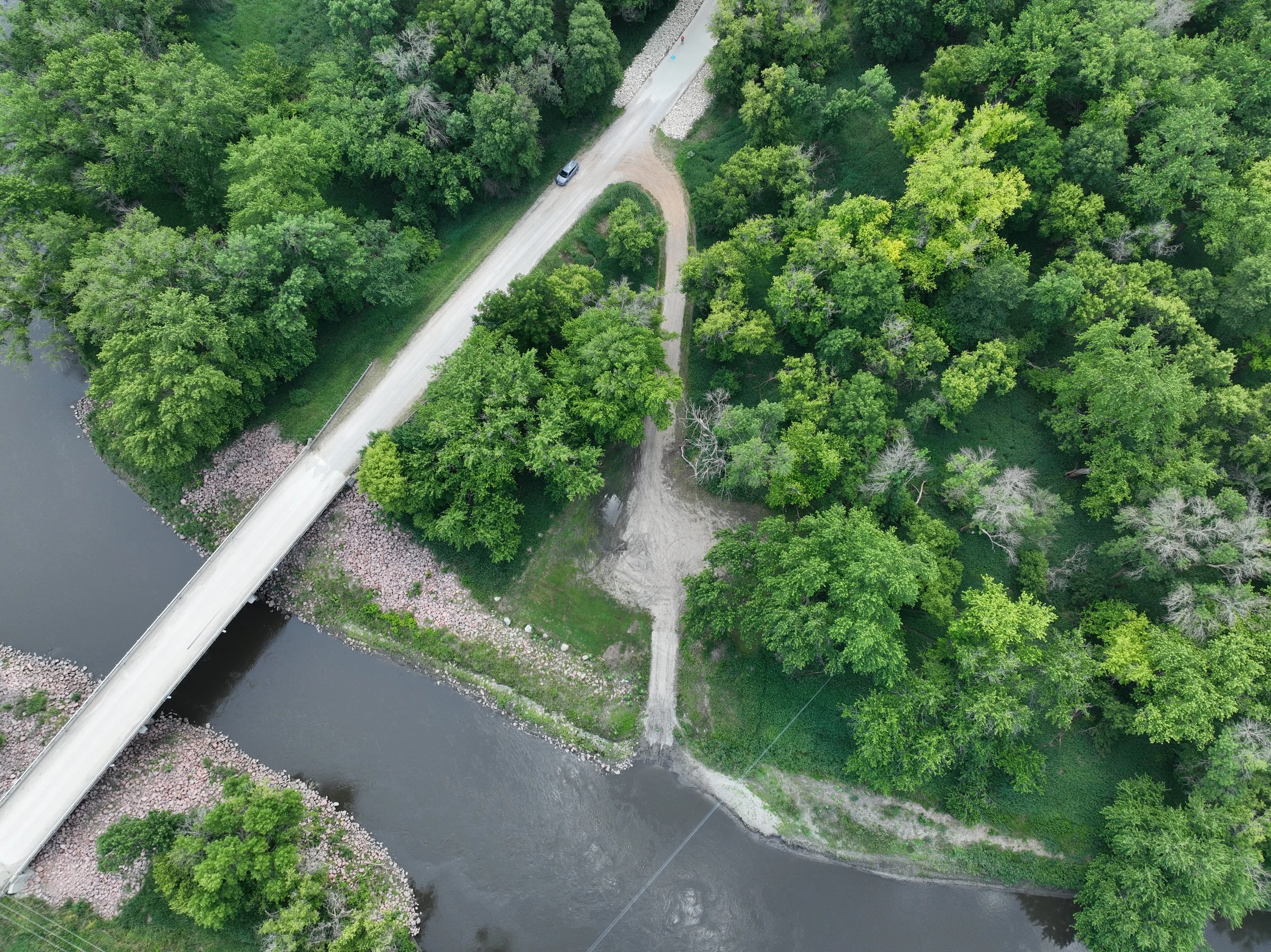
DICKINSONLike the Twin Forks Canoe Access, the Spooky Hollow Access is located within the prairie/pasture landscape. Keep an eye out for prairie birds like the Dickcissel and Swallows near bridges. The secluded nature of this access point makes it perfect for those seeking a more intimate connection with Iowa's river wilderness.
CONSIDERATIONS:
There is no formal launch from top of bank to riverbed. While the riverbank is not high, it is natural, uneven, and can be muddy and wet.
-
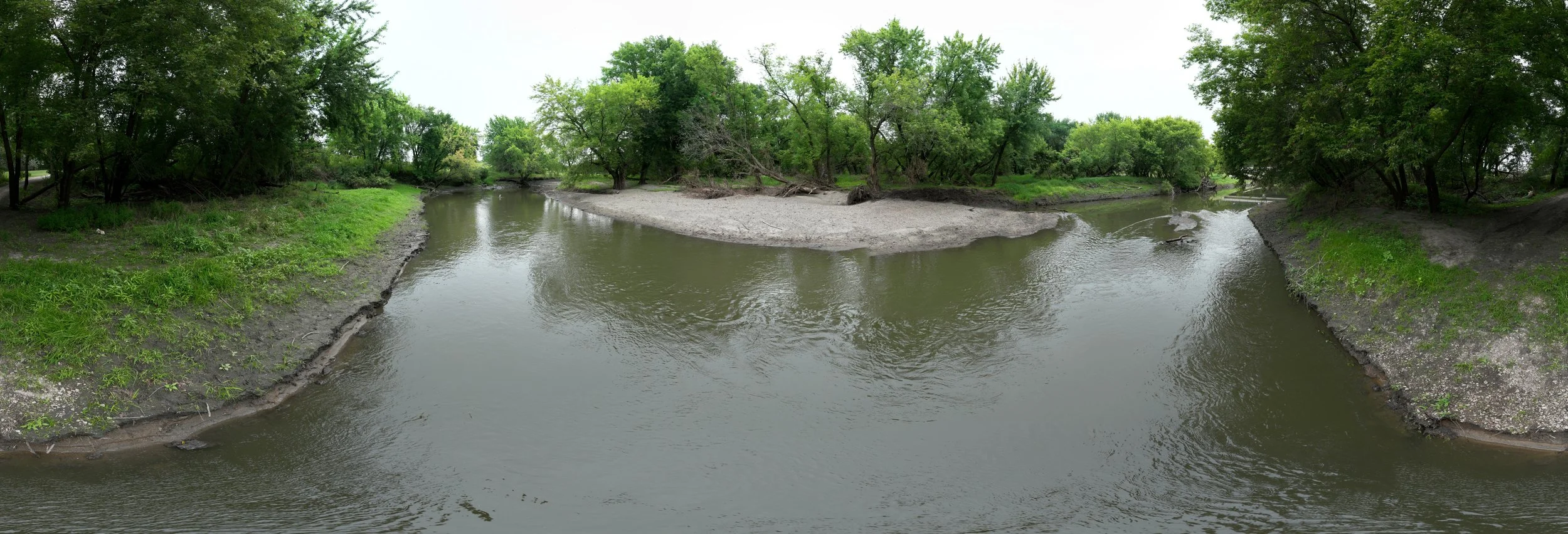
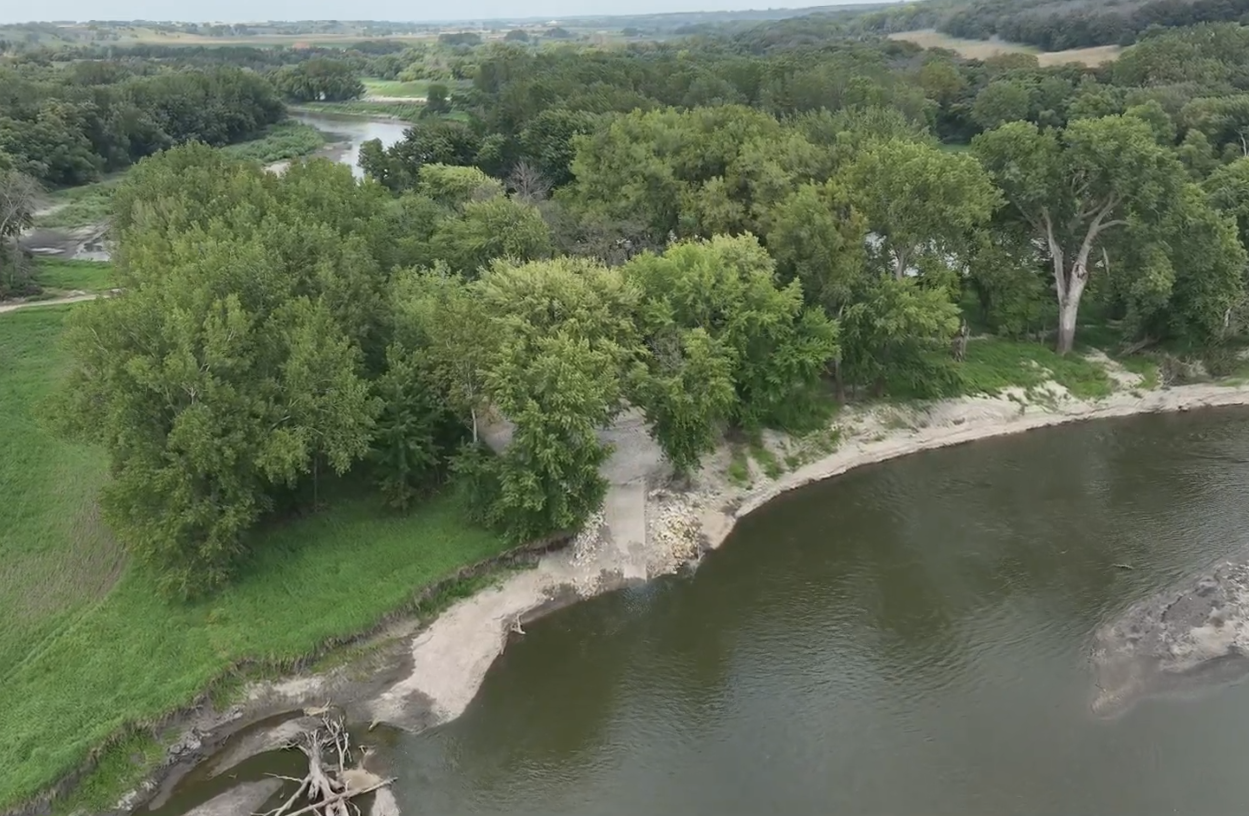
Horseshoe Bend
RIVER MILE:
216COUNTY:
DICKINSONAt Horseshoe Bend, the Little Sioux creates a spectacular natural loop through the Iowa landscape. This access point offers exceptional opportunities for both fishing and wildlife photography as the meandering river creates diverse habitats in a compact area. The bend's unique geography makes it a favorite among anglers targeting the deeper pools and varied current structures. Walleye, Northern Pike and Channel Catfish are prevalent here.
CONSIDERATIONS:
The gravel ramp leading towards the river can be muddy and unstable near the water’s edge.
-
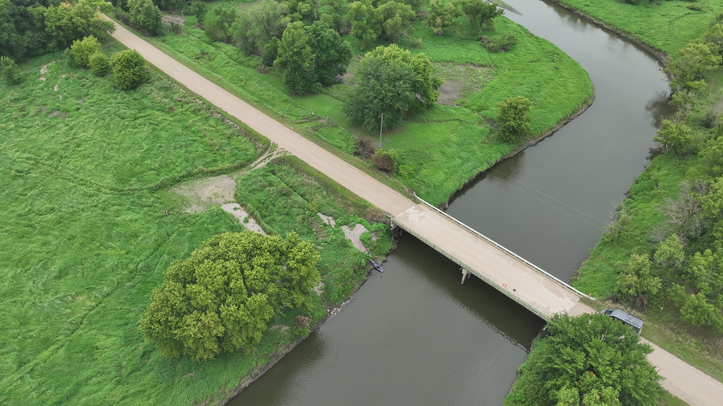
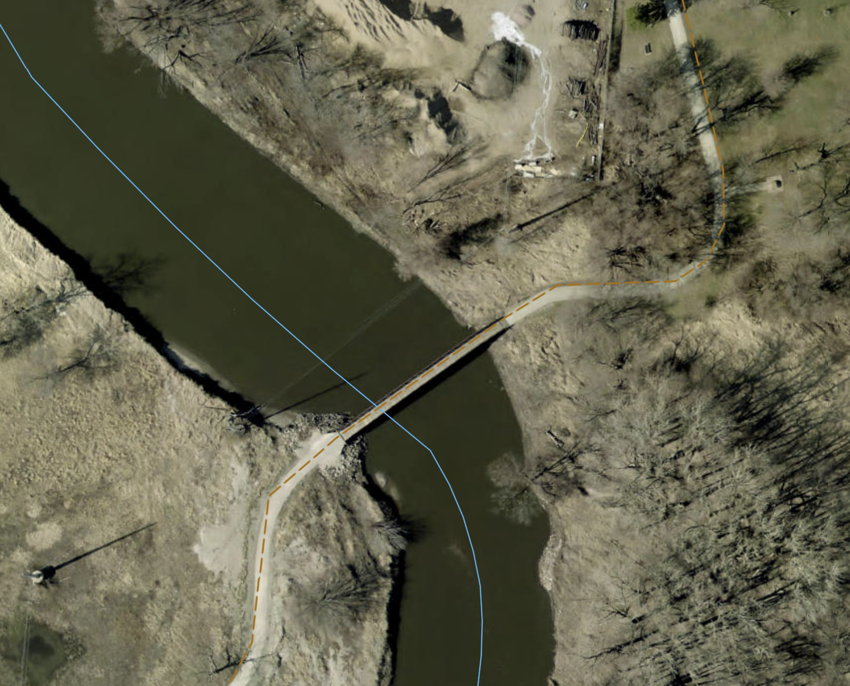
Judd Canoe Access
RIVER MILE:
208COUNTY:
DICKINSONThe Judd Canoe Access is found near the 250th Street bridge in Dickinson County. The Judd Canoe Access is adjacent to a 236-acre wildlife area, that includes open meadows and a winding prairie stream and a softwood forest along the river’s edge. The area is home to a variety of mammals, birds and other vertebrates. Recreational opportunities include hunting, fishing and canoeing.
CONSIDERATIONS:
The access can be muddy and uneven.
-
Yellow Throat Wildlife Area (unestablished)
RIVER MILE:
194COUNTY:
CLAYAt the Yellow Throat Wildlife Area, the Little Sioux River winds through protected habitat teeming with native Iowa wildlife. This access point combines excellent fishing and paddling opportunities with exceptional birdwatching, particularly during spring and fall migrations. The area's commitment to conservation makes it a prime destination for nature enthusiasts and photographers seeking authentic wilderness experiences.
CONSIDERATIONS:
The access is unestablished and the only parking can be found on the roadside or nearby pull-off. The pathway to the river can be overgrown, uneven and muddy.
-
Reiter Wildlife Area
RIVER MILE:
189COUNTY:
CLAYThe Reiter Wildlife Area features a series of oxbows and wetlands where paddlers will have the chance to view wildlife. The Access can be found on the south east side of the inoperable 18th Avenue Bridge north of Spencer.
CONSIDERATIONS:
The access can be overgrown, uneven and muddy.
-
Stolley Park
RIVER MILE:
187COUNTY:
CLAYEnjoy the perfect blend of natural beauty and recreational amenities at Stolley Park, where the Little Sioux River provides a scenic backdrop for family outings and outdoor adventures. This well-maintained access point offers convenient facilities while preserving the river's wild character, making it ideal for picnicking, fishing, and easy river access. The park includes a 1.3 mile trail loop, a small lake, and restrooms.
CONSIDERATIONS:
There is no formal launch from the riverbank to the riverbed. The riverbank can be uneven and wet.
-
West Leach Park
RIVER MILE:
183COUNTY:
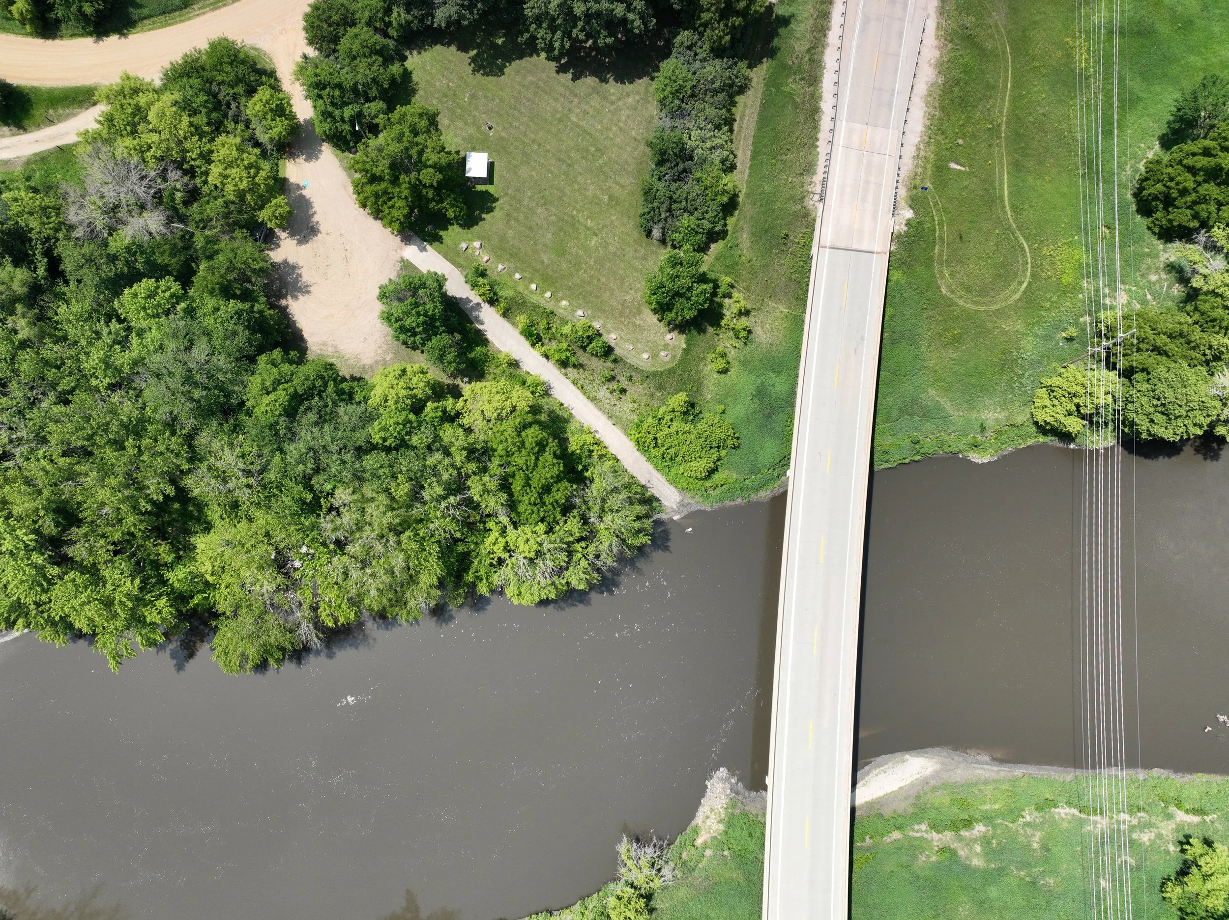
CLAYThis access can be found along the West Leach Bike Path on the south edge of town just upstream of the Highway 71 Bridge.
CONSIDERATIONS:
This access features a grooved concrete boat ramp from the riverbank to riverbed and a large parking area.
-
Oneota Access (unestablished)
RIVER MILE:
180COUNTY:
CLAYUnestablished walk-in access site off the side of a pedestrian bridge.
CONSIDERATIONS:
The access can be uneven, overgrown and dangerous due to bank erosion. Please exercise caution before use. This is the last access in the town of Spencer.
-
Hawkeye Valley Wildlife Management Area (unestablished)
RIVER MILE:
178COUNTY:
CLAYUnestablished walk-in access site off the side of the Highway 18 bridge. The protected wetlands and woodlands this area creates are perfect for viewing wildlife such as the Belted Kingfisher.
CONSIDERATIONS:
This is the final river access for several miles. The stretch to the Little Sioux Wildlife Area can be difficult as paddlers may have to portage around fallen trees which at times can partially dam and or block the river.
-
Little Sioux Wildlife Area
RIVER MILE:
167COUNTY:
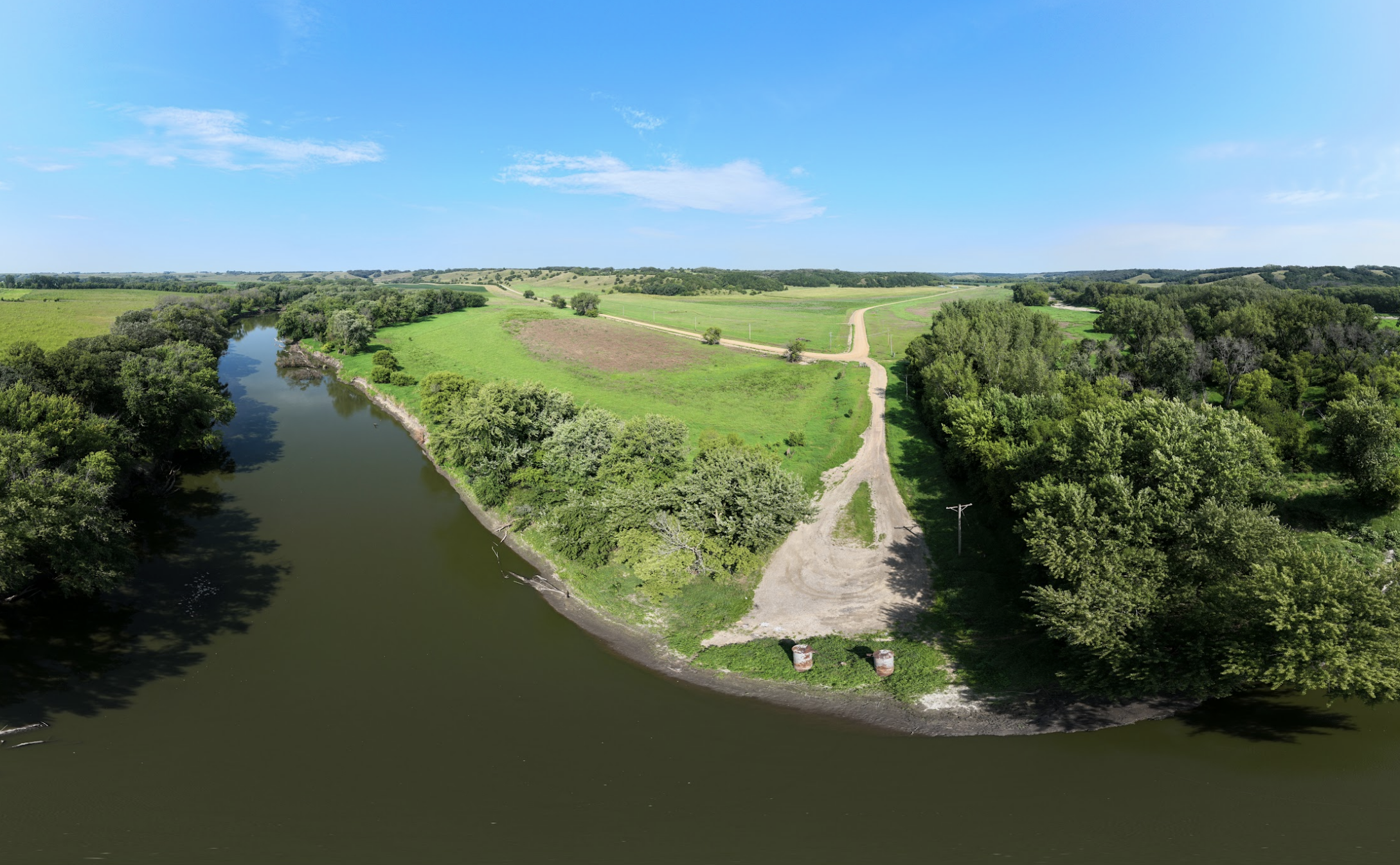
CLAYExperience the heart of Iowa's river wilderness at Little Sioux Wildlife Area, where protected habitat create ideal conditions for outdoor recreation. The access can be found on the corner of 420th and 270th Ave just north of Gillet Grove. The Little Sioux Wildlife Area features over 1,000 acres of timber and upland ecosystem, perfect for viewing deer, turkey and waterfowl.
CONSIDERATIONS:
The gravel road leading towards the river access is narrow and can be slightly eroded or overgrown. This is the last access for several miles.
-
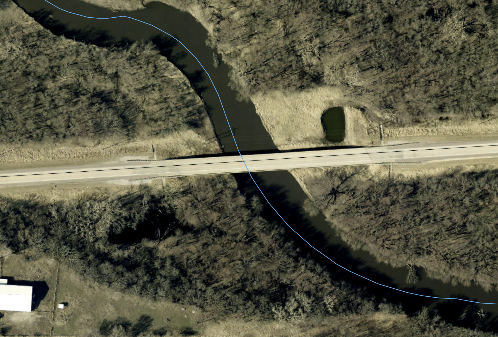
Nielsen River Access
RIVER MILE:
158COUNTY:
CLAYLaunch your Little Sioux River expedition at Nielsen River Access, a strategically located entry point. Part of the bridge was washed out in 2024 Spencer flooding.
CONSIDERATIONS:
The boat ramp is damaged and users should exercise caution while attempting to enter/exit the river.
-
Kindlespire County Park
RIVER MILE:
155COUNTY:
CLAYLittle Sioux River's scenic surroundings create conditions for family adventures at Kindlespire County Park. This access can be found by taking 485th St. directly east off of HW 71 and following to the end. Kindlespire County Park features two 300 plus acre tracts of woodland and prairie where users can view wildlife, explore hiking trails and access primitive campsites.
CONSIDERATIONS:
Users should exercise caution while navigating a rock bar near the end of the boat ramp during low water.
-
Sioux Rapids City Park
RIVER MILE:
145COUNTY:
BUENA VISTAWelcome to Buena Vista County ! Sioux Rapids City Park features walking trails, picnic areas, and recreational facilities for individuals and families to relax and unwind. Located in town directly east off of HW 71.
CONSIDERATIONS:
Users of the boat ramp should exercise caution while entering/exiting the water. The boat ramp is damaged and unstable.
-
Bluebird Access
RIVER MILE:
136COUNTY:
BUENA VISTASoar into river adventure at Bluebird Access or end your adventure just before the Linn Grove Dam. Check river levels, but paddlers can typically paddle past the dam and around to Linn Grove Dam Park. The access can be found just east of the Linn Grove Dam Campground.
CONSIDERATIONS:
Due to flooding the Little Sioux has rerouted around the dam and subsequently shifted south. During low water levels the boat ramp will not reach the water. Users should exercise caution while exiting/entering the water.
-
Linn Grove Dam Park
RIVER MILE:
136COUNTY:
BUENA VISTADiscover unique fishing and recreation opportunities at Linn Grove Dam Park, where the Little Sioux River's modified flow creates distinctive aquatic habitats. This access point offers both above and below dam fishing experiences, with the structure creating varied water conditions that attract different fish species. The Linn Grove Dam Campground provides excellent facilities for extended stays while exploring this interesting section of the river system.
CONSIDERATIONS:
Due to the river rerouting around the dam, this access is now off the main channel. The boat ramp is suitable to launch both kayaks and canoes and larger motorized fishing boats.
-
Wanata Park
RIVER MILE:
125COUNTY:
CLAYEmbrace adventure at Wanata Park and River Access, where the Little Sioux River provides an excellent backdrop for diverse outdoor recreation in a well-maintained 144 acre woodland and wetland park. Guests have access to pit toilets, hiking trails, and a historic rock shelter built by the Civilian Conservation Corps.
CONSIDERATIONS:
The Wanata River Access features a grooved boat ramp yet exercise caution as river sediment can accumulate at the bottom. The parking area can be muddy when wet.
-
Riverside Access
RIVER MILE:
123COUNTY:
CLAYRiverside Access is just 2 miles west of Wanata and features a gravel parking area as well as spots along the riverside to fish for channel catfish. Riverside Access can be found just to the south off the Glacial Scenic Byway (Highway 10) on 115th Ave.
CONSIDERATIONS:
The boat ramp has been damaged from severe flooding. Users should exercise extreme caution while entering/exiting the river.
-
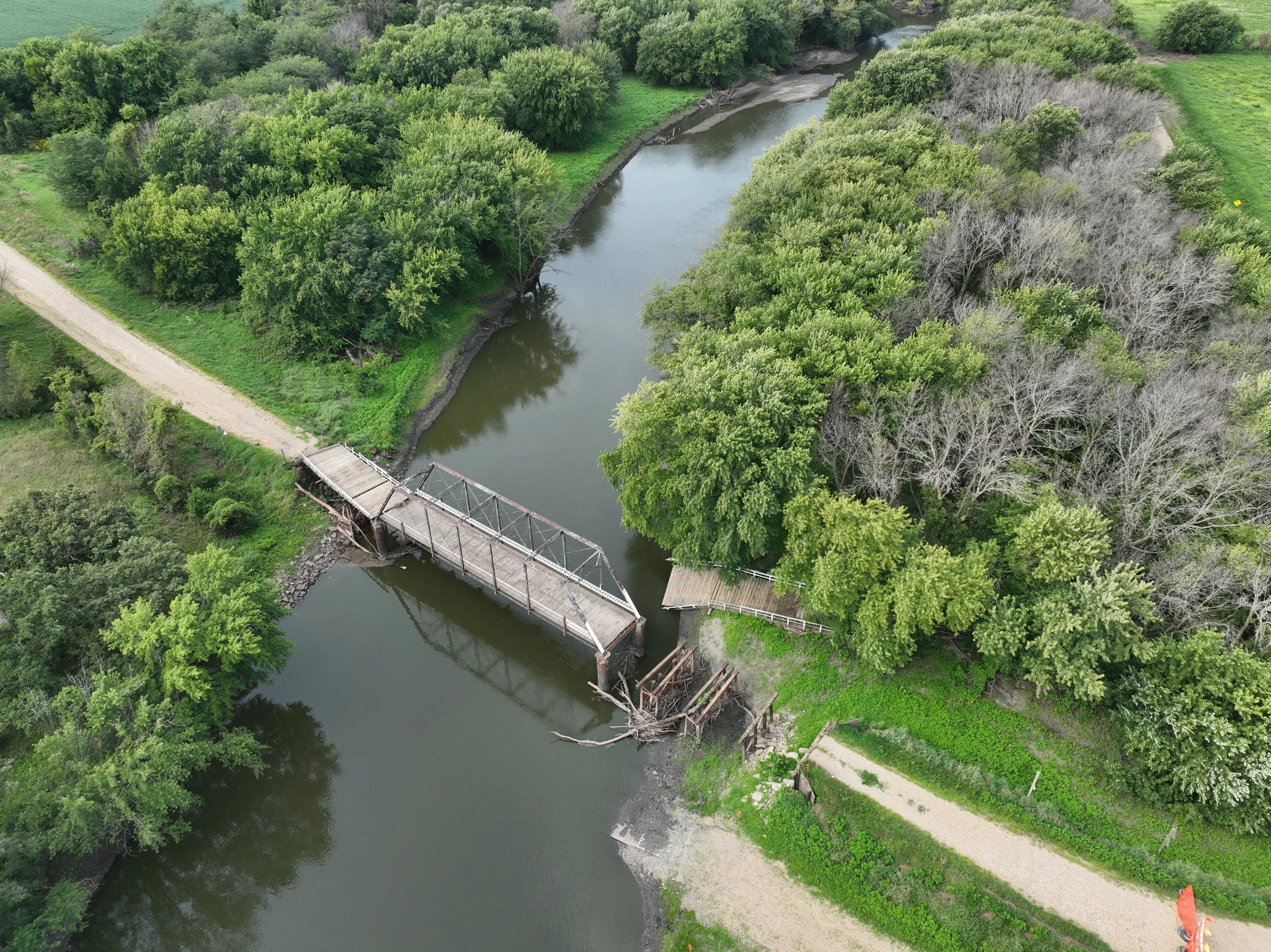
Burned Out Bridge
RIVER MILE:
118COUNTY:
OBRIENExplore the intriguing history and excellent recreation at Burned Out Bridge, where remnants of the past serves as a reminder of the river's role in Iowa's transportation history while providing modern recreational opportunities. This access site is on river right and directly across river from the Prairie Heritage Center Access.
CONSIDERATIONS:
This river access does not feature a concrete boat ramp. Users will need to carry down their water craft to the water. Users should exercise caution as the ground could be unstable.
-
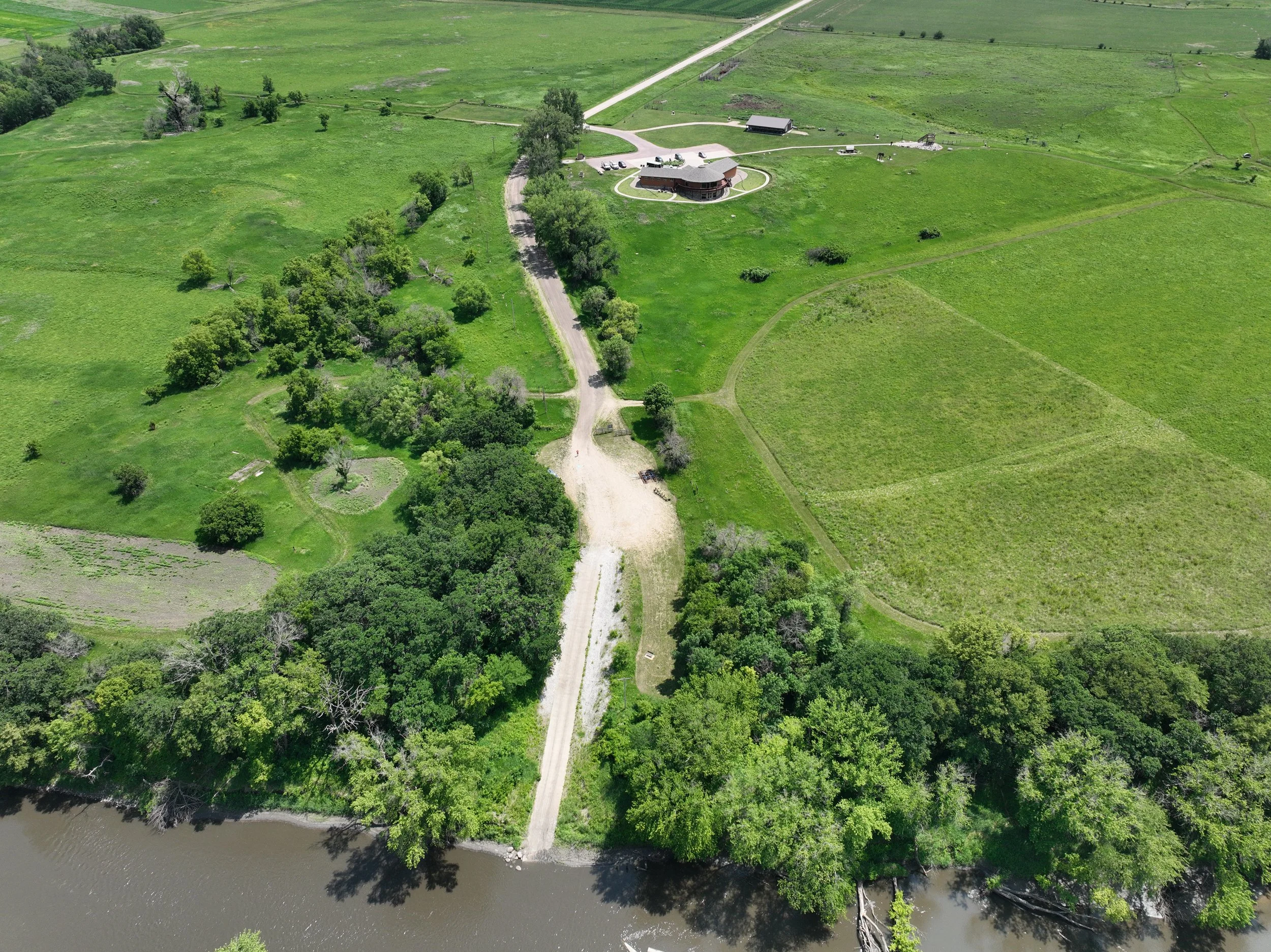
The Prairie Heritage Center
RIVER MILE:
118COUNTY:
OBRIENAs the main office for the O’Brien County Conservation Board, The Prairie Heritage Center provides environmental education as it relates to the prairie, to preserve and protect natural heritage, and to encourage economic development with regards to recreation and historic exploration. Visitors can enjoy educational and interactive displays, hike trails, savor wildflowers, engage in bird watching, and historical markers.
CONSIDERATIONS:
The boat ramp is located just past the Prairie Heritage Center. The concrete ramp is quite long and will require users to haul their watercraft quite far to either enter or exit the river. The next access is several miles away.
-
Nelson Access
RIVER MILE:
108COUNTY:
CHEROKEEWalk-in or bushwack your way to this river access site just after the 450th street bridge. Must hike up rocky bank to get to small parking area.
CONSIDERATIONS:
The access can be quite overgrown and is little more than a dirt trail down to the waters edge. Users should exercise caution while entering/exiting the river.
-
Martin Access
RIVER MILE:
107COUNTY:
CHEROKEEAt Martin County Park the river opens up exciting possibilities for exploring the Little Sioux River's natural wonders. The location serves as an excellent starting point for both short excursions and extended river journeys through Iowa's beautiful countryside. Featuring 300 acres of river valley habitat, the park includes primitive camping, modern cabins and more.
CONSIDERATIONS:
The access can be over grown with vegetation and does not have a concrete boat ramp. The access should not be used during high water.
-
Barnes Access
RIVER MILE:
103COUNTY:
CHEROKEEBarnes access provides a large gravel lot for parking and a concrete ramp down to the water. Users can also use the dirt path just east of the parking lot for access to the river from the sandbar.
CONSIDERATIONS:
The boat ramp can sometimes be covered in sediment and users should exercise caution while entering/exiting the river.
-
Wescott Park
RIVER MILE:
94COUNTY:
CHEROKEEThe cement boat ramp is a well maintained area for paddling access. Nearby Spring Lake Park is across the road to the west, which has more amenities. Located within city limits, eateries and stores are located within blocks of this park.
CONSIDERATIONS:
The boat ramp can sometimes be covered in sediment and users should exercise caution while entering/exiting the river.
-
Redtail Ridge Area
RIVER MILE:
87COUNTY:
CHEROKEESoar to new heights of outdoor recreation at Redtail Ridge Area, where elevated terrain provides dramatic views of the Little Sioux River valley. This access point takes advantage of the region's varied topography to offer unique perspectives on Iowa's river landscape while providing carry-down water access. Located just off of 580th St.
CONSIDERATIONS:
The carry-down water access can be uneven and users should exercise caution both while moving watercraft and entering/exiting the water.
-
Silver Sioux Recreation Area
RIVER MILE:
84COUNTY:
CHEROKEEThis cement boat ramp is an easy place to access the river. The main campground is across the road with camp sites, bathrooms, and showers. It also has an overnight rental facility and hosts around 160 acres of river valley habitat.
CONSIDERATIONS:
The boat ramp can be covered with sediment. Users should exercise caution while entering exiting the river.
-
Pearse Area
RIVER MILE:
83COUNTY:
CHEROKEEPearse Access is located just off of River Road and features a large sandy parking area. The access to the river is a carry-down into the river. Good fishing spots can be found along the banks and near the old rail road bridge.
CONSIDERATIONS:
The access can be muddy, uneven and wet. Users should exercise caution while entering/exiting the water.
-
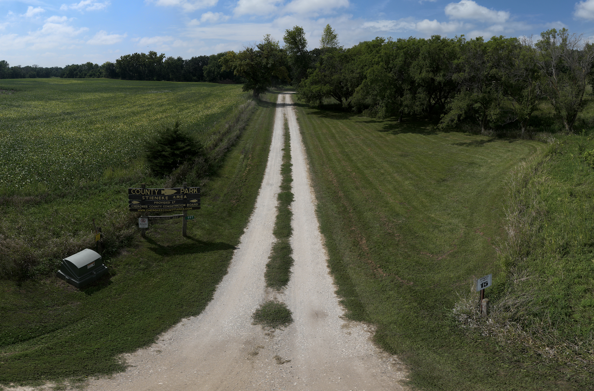
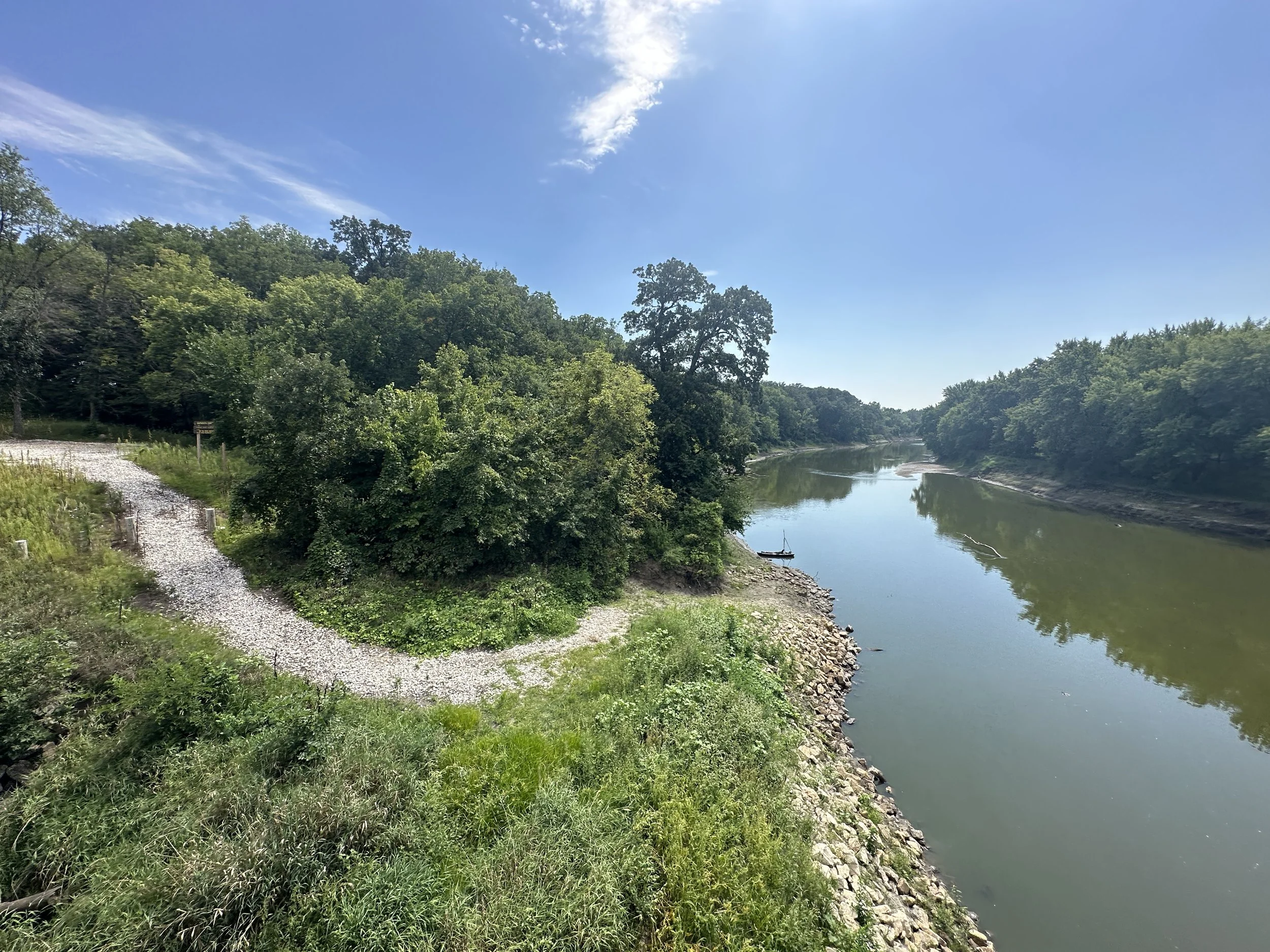
Stieneke Access
RIVER MILE:
76COUNTY:
CHEROKEEStep into quality outdoor recreation at Steineke Access, where convenient carry-down river entry provides direct access to the Little Sioux River. There is a covered shelter and potable water available at this site.
CONSIDERATIONS:
There is a bit of a walk from the rivers edge to the campground. The trail to the river can be overgrown and wet and users should exercise caution.
-
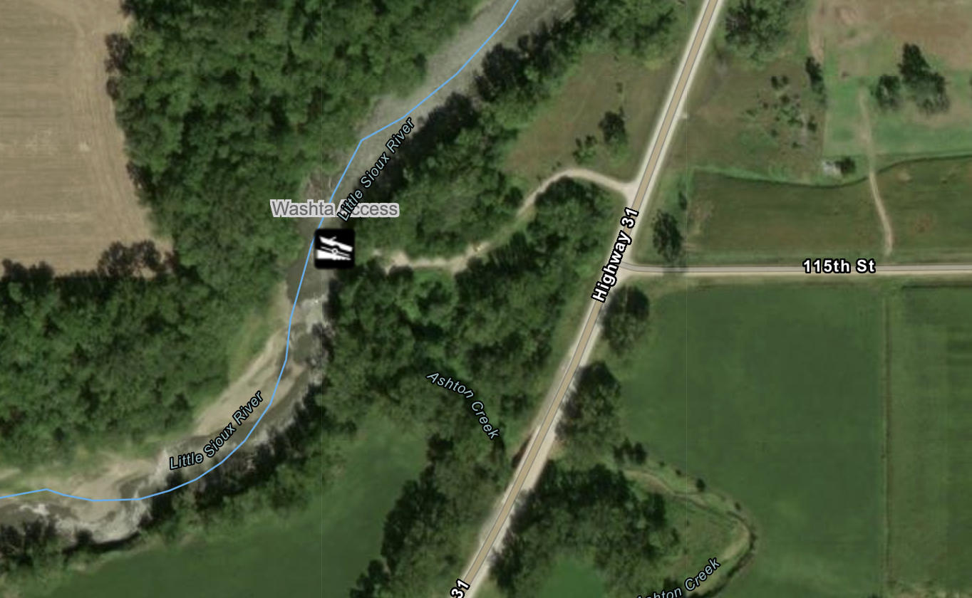
Washta Access
RIVER MILE:
67COUNTY:
IDAThe only access located in Ida County, Washta Access is located just off of HW 31. The access features a medium sized gravel parking area, a concrete boat ramp and interpretive sign.
CONSIDERATIONS:
Exercise caution while exiting/entering the river, the boat ramp can be covered with sediment at the bottom.
-
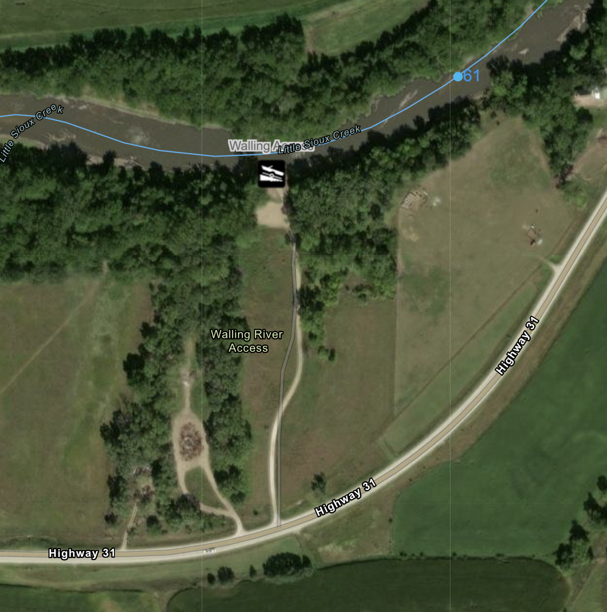
Walling Access
RIVER MILE:
61COUNTY:
WOODBURYMuch like the Washta Access, the Walling River Access is located off of HW 31, features a gravel parking area and a concrete boat ramp. The Walling Access is located just north of Correctionville, where amenities can be found.
CONSIDERATIONS:
Exercise caution while exiting/entering the river, the boat ramp can be covered with sediment at the bottom.
-
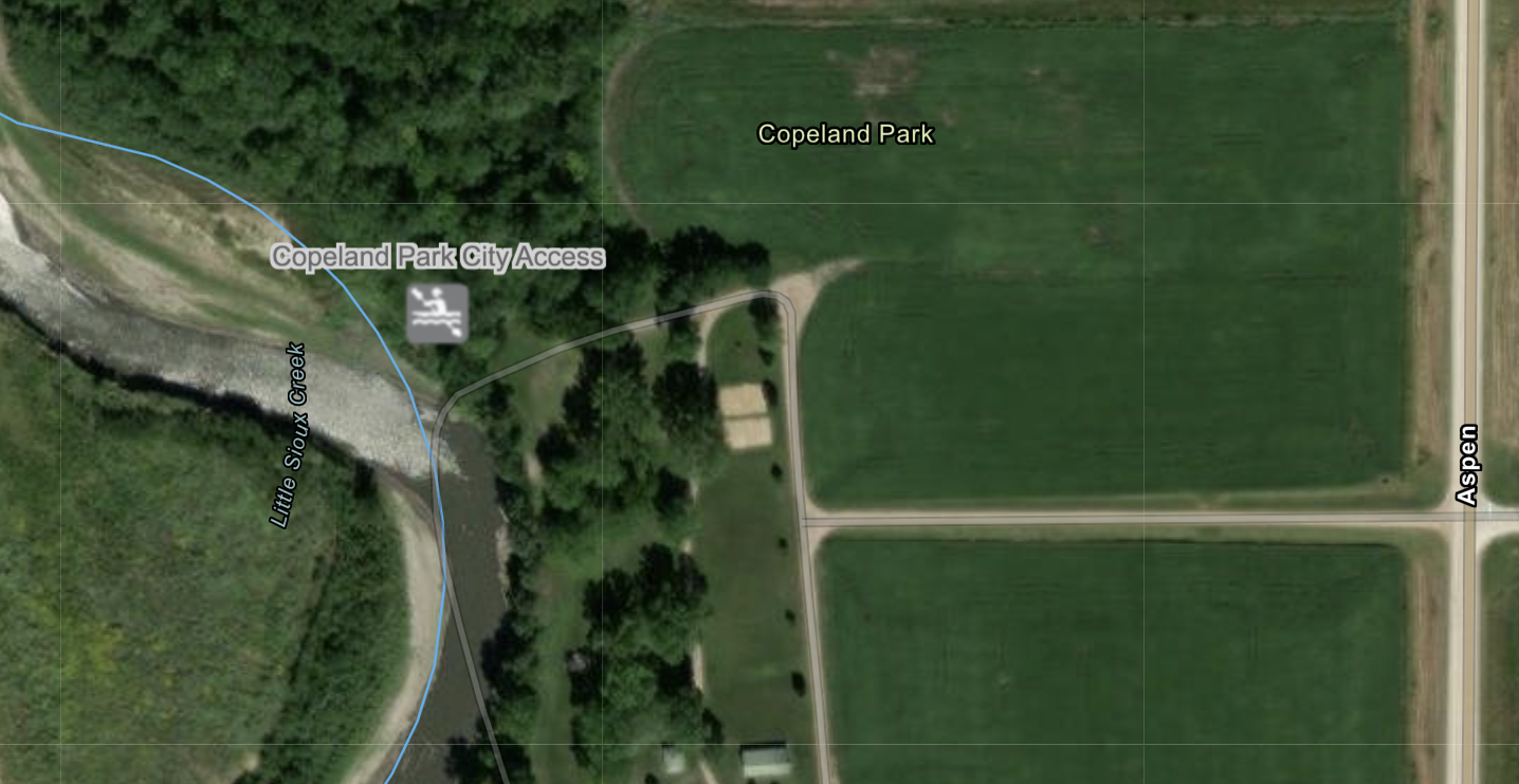
Copeland City Access
RIVER MILE:
59COUNTY:
WOODBURYCopeland City Park is located just west of Correctionville and features frisbee golfing, volleyball and public grills. The access can be found at an opening near the north end.
CONSIDERATIONS:
The access can be overgrown with vegetation, sandy and or muddy. Users must haul their water craft a ways before accessing the river. The river is accessed from a sandbar.
-
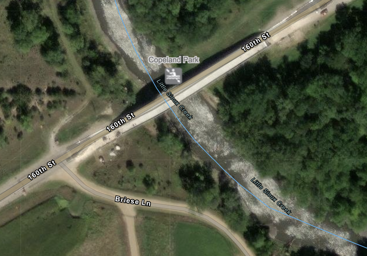
Copeland Park Access
RIVER MILE:
59COUNTY:
WOODBURYCopeland Park Access can be found under the 160th St. Bridge. A small pull off on the north side of the road leads users down a double track dirt path under the bridge. An ideal spot for anglers, the access lacks a formal entry point for paddlers.
CONSIDERATIONS:
Users must haul their watercraft a ways before access the river. The access can be uneven and or unstable. Users should exercise caution while entering/exiting the water.
-
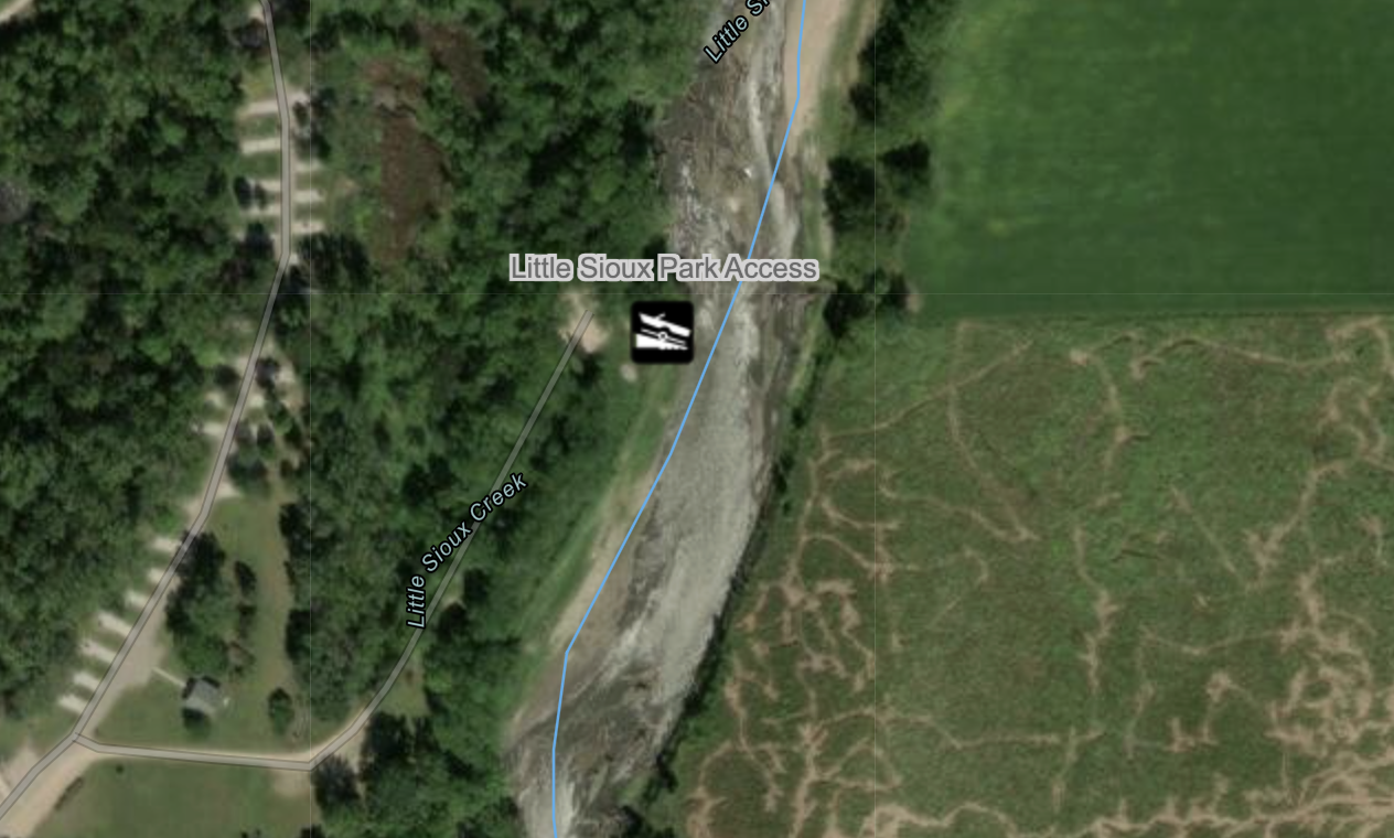
Little Sioux Park
RIVER MILE:
57COUNTY:
WOODBURYLocated 2 miles southwest of Correctionville, Iowa on Hwy 31, this 609-acre area provides a wide variety of recreational opportunities for the public. The 10-acre lake has angling opportunities for large-mouth bass, bluegill and channel catfish. Hiking trails offer opportunities to explore the marsh, native trees, shrub plantings, native prairies and food plots. The concrete boat ramp is located at the north end of the park.
CONSIDERATIONS:
The boat ramp is temporarily closed due to damaged sustained during extensive flooding and subsequent erosion. Users are advised not to use the ramp until it is repaired.
-
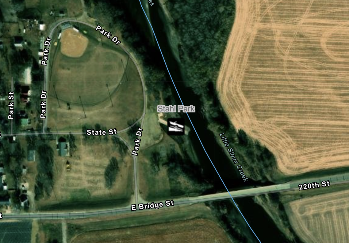
Stahls Park Access
RIVER MILE:
48COUNTY:
WOODBURYStahls Park is a serene outdoor recreational area situated on the east edge of the town Anthon. Stahls park offers a variety of amenities for visitors to enjoy including baseball diamonds, a shelter and public grills. The park provides a peaceful setting for picnics, leisurely walks, and opportunities to connect with nature. The concrete boat ramp has a large gravel parking area and is ideal for launching both motorized and non-motorized watercraft.
CONSIDERATIONS:
The ramp can be slick near the waters edge where sediment can accumulate. Users should exercise caution while entering/exiting the water.
-
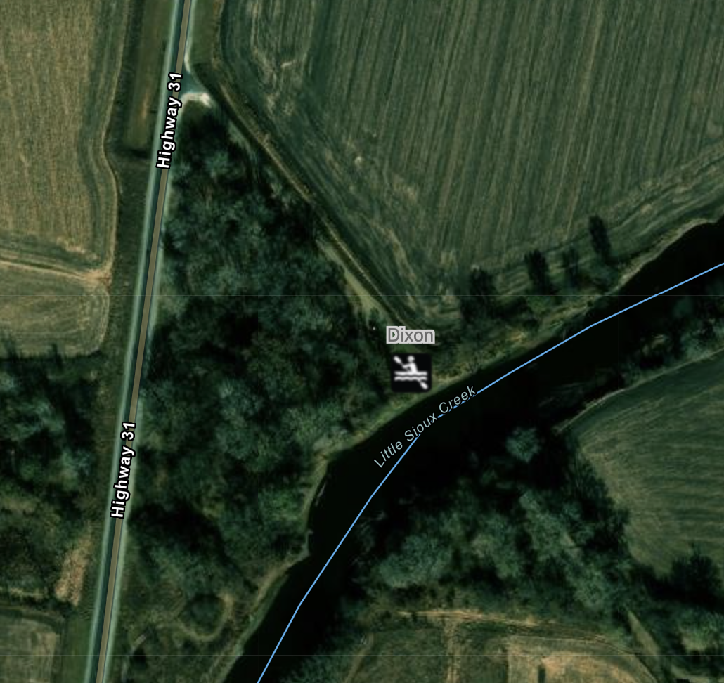
Dixon Access
RIVER MILE:
45COUNTY:
WOODBURYThe Dixon Access to the Little Sioux River is located 2.5 miles south of Anthon on Morgan Trail off of HW 31. A small parking area can be found near a narrow concrete ramp. Good fishing can be found along the banks.
CONSIDERATIONS:
The narrow concrete ramp is uneven and should be approached, especially while hauling watercraft, with caution.
-
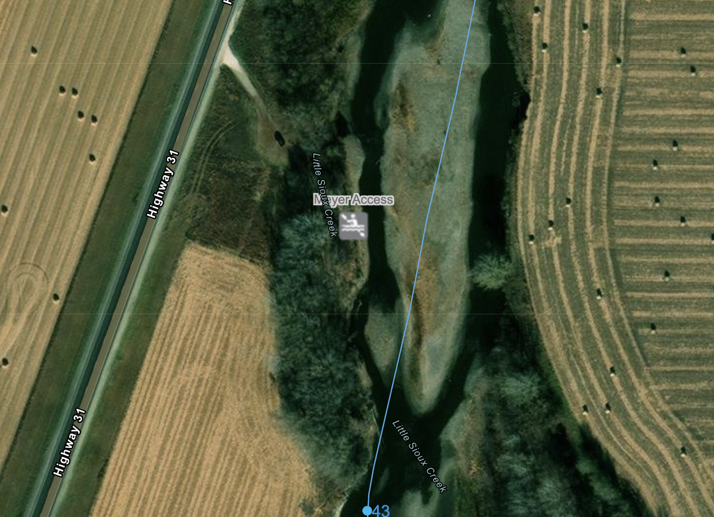
Meyer Access
RIVER MILE:
44COUNTY:
WOODBURYMeyer Access is effectively the last access on the Inkpaduta Canoe Trail. It features a small sandy parking area just off of HW 31 and a sandy double track that leads into the water via a dirt ramp.
CONSIDERATIONS:
The access is under maintained and can be quite over grown with vegetation. Users should exercise caution while exiting/entering the water especially when the ground is wet.
-
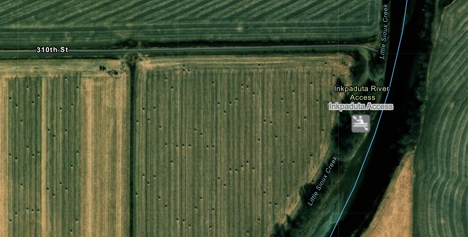
Inkpaduta Access
RIVER MILE:
36COUNTY:
WOODBURYThe final informal river access to the Inkpaduta Canoe Trail is the Inkpaduta Access. Located south of the town of Oto, users can view a small plaque on the west side of the road before turning east onto a dirt road which leads to the access. The access is under maintained and can be very over grown with vegetation. The access itself is very steep and unstable due to erosion. Anglers could find the steep banks appealing.
CONSIDERATIONS:
The road leading to the access can be muddy when wet. Due to the steep and uneven nature of the river bank it is not advised to access or exit the water here.
River Access Information
