
Be safe on the river!
Rivers are powerful, dynamic environments that can change quickly and unpredictably. Strong currents, hidden debris, cold water, and rapidly shifting weather can turn a calm stretch of water into a dangerous situation in moments.
Practicing river safety—wearing life jackets, not paddling alone, scouting hazards, paddling within your skill level, and respecting water conditions—helps prevent accidents and injuries.
River Gauges & Water Levels
River gauge information found at the USGS website offers real-time readings of the amount of water flowing through the river at any given time compared to average historic flows over the many previous years that data have been collected . There are two metrics they give you:
Cubic Feet Per Second (CFS): measures the volume of water moving through the river. The higher the CFS, the higher the water level.
Depth: the water depth at the gauge site, not the depth of the river everywhere.
CFS is a better metric to pay attention to. Using gauge depth can easily become confusing when discussing river levels.
While this information is useful in general, without some study and previous understanding or actual experience paddling at various water levels, it won’t tell you if the water level is too high or too low for your given skill or comfort range. However, it will tell you if a river is in flood stage, which is a good indicator to stay off the river.
If you start paying attention to the gauges and gain experience paddling at a variety of flows, you will learn what flows work best for you. You will understand what CFS levels are too pushy or too high for your comfort range and what levels require more walking and dragging your paddlecraft.
Some Caveats:
There are only three gauges that offer information for the Inkpaduta Canoe Trail. The farther the gauge is from the river section you are paddling, the less reliable it is.
Gauges can get damaged or washed out.
Gauge readings can quickly change depending on recent rains within the watershed, so you should also take into consideration where and when rain events occurred. If you study the gauges, you will become familiar with the relationship between rain events and gauge readings. It’s also helpful to understand watershed boundaries.
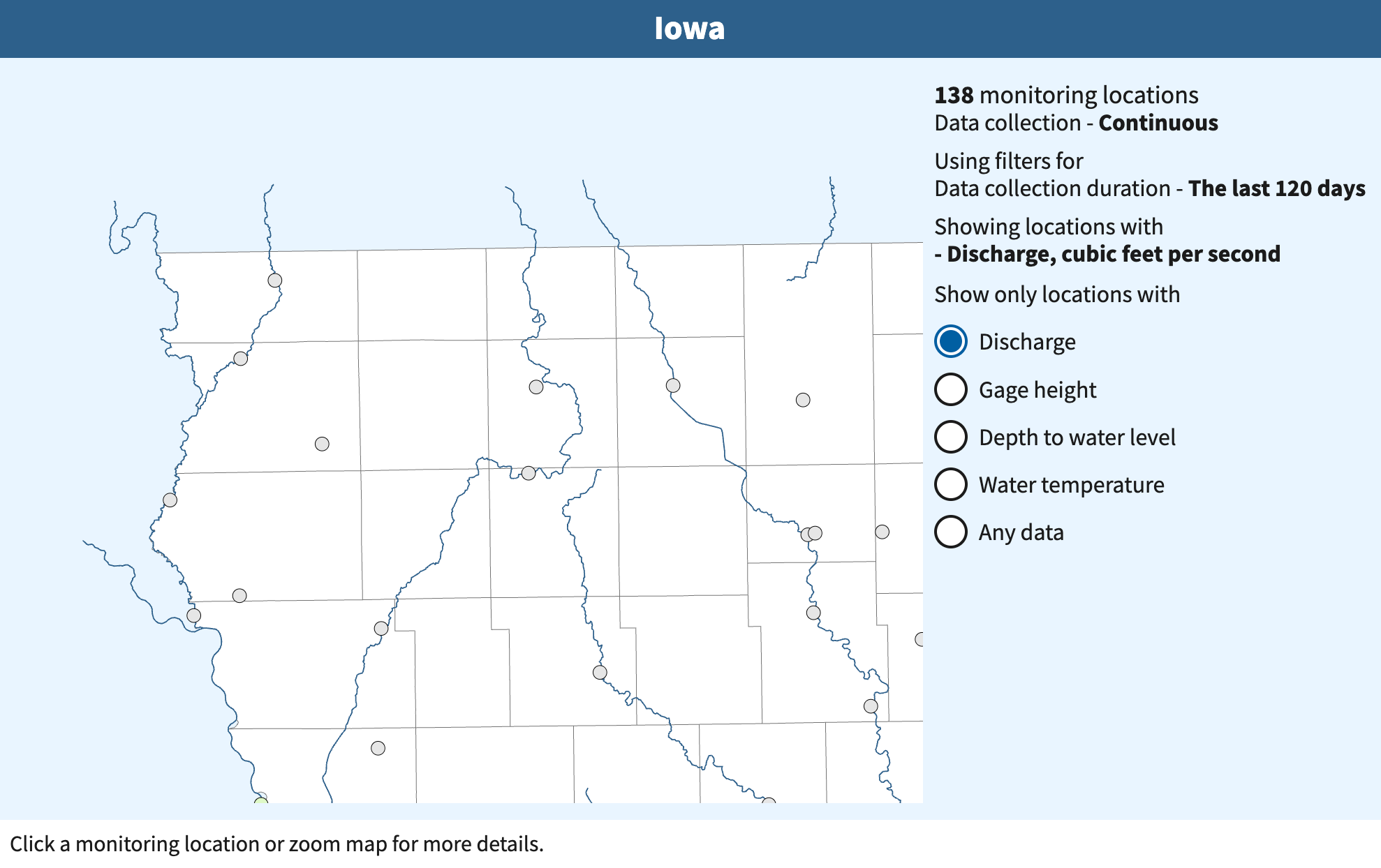
The main river gauges on the Inkpaduta Canoe Trail are located at Linn Grove in Buena Vista County and Correctionville in Woodbury County. You can find the corresponding USGS gauge below.
An additional gauge can be found on the Ocheyedan River near Spencer in Clay County and can be helpful to monitor prior to planning a paddle in Clay County.
Knowledge of the law
and an attitude of respect goes a long way!
Like most rivers and streams in Iowa, the adjacent landowners own the river banks, the river bed, and sandbars—the legal term for this type of stream is non-meandered, but it has nothing to do with the river’s character.
It’s important to know that when you are standing on a sandbar, you are standing on private property, unless the area is owned by the city, county or state. Some liberties are afforded those who are navigating on Iowa streams, such as, stopping for lunch, or stretching your legs, or perhaps you need to portage a hazard or log jam. These activities are considered incidental to navigation. However, if a landowner tells you to leave their property, don’t hesitate to move on. There are plenty of other sandbars on the river.
Iowa is an agricultural state, and it is legal for landowners to contain their livestock with electric fences across the river. These do pose a hazard for paddlers, so it’s important to know where these are before you decide to paddle a stretch of the river.
Electric Cattle Fences in Rivers
Electric cattle fences crossing rivers typically consist of:
Single or multiple strands of wire, often at varying heights
Wire attached to posts on both riverbanks
May be nearly invisible from upstream, especially in low light
Often accompanied by warning signs on fence posts
Wire may sag into the water or be positioned just above water level
Insulators visible on fence posts indicating electrical system
When identified, ALWAYS PORTAGE around the fences
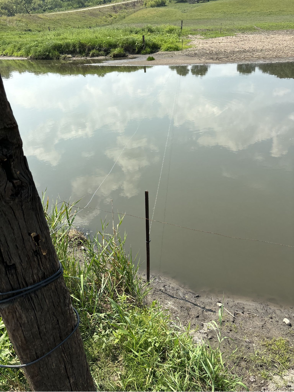
A photo of an electric fence over the Little Sioux River
Weather Safety
Before heading out for a paddle, check the weather. If you get caught in inclement weather, keep these tips and safety in mind:
NEVER paddle when lightning is in the area. If lightning occurs, leave the water immediately.
Always take a weather radio for access to alerts.
If sandbar camping, be aware of weather farther upstream. River levels can rise quickly overnight.
Take and apply sunscreen regularly.
Know your water and air temperatures during cold weather months.
Personal Behavior and Responsibilities
Obey local rules and regulations. Use only public lands and access points
Respect private property. Never trespass to gain access.
Be considerate to others while on the water. Give anglers a wide berth.
Be considerate to local residents.
Give back to the waterway. Participate in a river cleanup, or volunteer for a local watershed organization.
Avoid introducing non-native species. Clean your boat and gear between trips.
Leave No Trace
Dispose of waste properly. Never litter. Always pack out your trash. A good habit to develop is to always take a mesh trash bag so you can pick up around the access points. Always leave it cleaner than you found it.
Use a portable toilet or other approved method to pack out solid human waste and paper products. Dispose of liquid waste 200' from water and away from camps and trails.
Travel and camp on durable surfaces whenever possible. Minimize impacts to shore when launching, portaging and scouting.
Avoid building campfires, except in established fire rings or in emergencies.
Respect wildlife by observing from a safe distance. Leave artifacts and natural features undisturbed.