
Conservation
Conservation in and along the Little Sioux River includes county, state, federal and private entities. Management of public lands in the river corridor includes but is not limited to; County Conservation Boards, The Iowa Department of Natural Resources and The Nature Conservancy in Iowa.
This also includes groups like the Little Sioux Watershed Conservation Partnership (LSWCP) which brings together a diverse network of stakeholders to promote the protection of the river and surrounding watershed. The LSWCP takes on Iowa’s portion of the of the Little Sioux River’s watershed as its project area, comprising around 1.5 million acres [1].
County Conservation Boards
County Conservation Boards of the Little Sioux River watershed include; Dickinson, Clay, Buena Vista, O’Brien, Cherokee and Woodbury. All together, thousands of acres of public land is managed by these six counties, with much of that land located within the Little Sioux watershed. In addition to campgrounds, parks and preserves, County Conservation Boards also maintain river accesses to the Inkpaduta Canoe Trail.
The purpose of the county conservation board is "to acquire, develop, maintain and make available to the inhabitants of the county public museums, parks, preserves, parkways, playground, recreational centers, county forests, wildlife and other conservation areas, and to promote and preserve the health and general welfare of the people, to encourage the orderly development and conservation the natural resources and cultivate good citizenship by providing adequate programs of public recreation" [2].
Iowa DNR Managed Land
The DNR's Wildlife Bureau manages around 30,000 acres within the Little Sioux River watershed, including state owned Wildlife Management Areas (WMAs) and federally owned U.S. Fish & Wildlife Waterfowl Production Areas (WPAs).
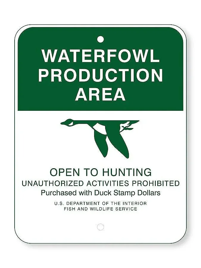
DNR Wildlife Management Areas are available for public recreational use every day of the year. All of these areas are managed with revenues from the sale of hunting, fishing, and trapping licenses that are purchased by resident and non-residents. These state revenues are supplemented with Federal Sport Fish & Wildlife Restoration funding from the U.S. Fish & Wildlife Service. This federal money is comprised of an excise tax on hunting and fishing equipment collected by the federal government and then distributed back to state fish and wildlife agencies. As such, wildlife management areas are funded almost solely by hunters, fishers, and trappers [3].
Iowa DNR’s Public Hunting Atlas is an interactive map to help identify county, state and federal public land
The Nature Conservancy in Iowa
The Nature Conservancy is a global environmental nonprofit founded to help conserve and restore natural areas while working in collaboration with local partners. This includes acquiring, preserving and maintenancing land through conservation easements. The Nature Conservancy in Iowa has helped to protect 20,000 acres in Iowa since 1963 [4].

Within the Little Sioux River corridor, four preserves exemplify The Nature Conservancy’s work along the Inkpaduta Canoe Trail. This includes Freda Haffner Kettlehole State Preserve, Lois Tiffany Prairie, Glacial Hills Preserve and Browns’ Prairie.
Additional Resources
References
Learn about the Watershed. (2026). Little Sioux Watershed Partnership. https://www.lswcp.org/learn-about-the-watershed.html
ABOUT. (2026). MyCountyParks.Org. https://www.mycountyparks.org/about.html
Wildlife Management Areas. (2025, September 30). Department of Natural Resources. https://www.iowadnr.gov/places-go/wildlife-management-areas
The Nature Conservancy in Iowa. (n.d.). The Nature Conservancy. Retrieved July 8, 2026, from https://www.nature.org/en-us/about-us/where-we-work/united-states/iowa/
This section, “Conservation,” was developed by Jordan Barry.
The heading video was captured by Benjamin Fowler and the logos are courtesy of the corresponding conservation organizations.
This section was prepared for Iowa Department of Natural Resources Water Trails Program under coordination by John Wenck.